| Data | Source | Available information |
|---|
| LOCAL |
OSU |
NWS |
WSI |
IL Weather |
ISWS climate report |
IL obs |
Regional obs |
State fcst |
Zone fcst |
Discussion |
Summary |
Roads |
Spcl statement |
Watch/warning |
Radar |
Midwest weather page
|
| Watches/Warnings |
NWS |
EW |
IL |
NWS warnings map |
Stormwatch:
radar |
warnings |
Severe Reports:
listing,
US-map,
closeup-map |
SPC page
|
| Sea sfc. temperature |
UW/CIMSS |
USN |
Gulf:
UW /
Global:
UW /
Navy
|
| Satellite |
CIRA |
RAMSDIS main page /
GOES
-EAST |
-WEST
|
| NOAA |
Satellite info /
daily report /
bulletins /
CIMSS gallery
|
| U.K. Met Office |
Europe:
Vis |
IR |
full disk |
world |
loop |
+ fronts
|
|
U.I. - WW2010 |
U.S.
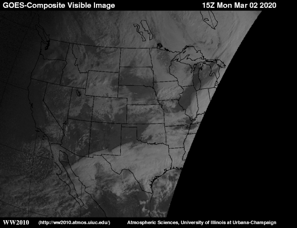
visible |
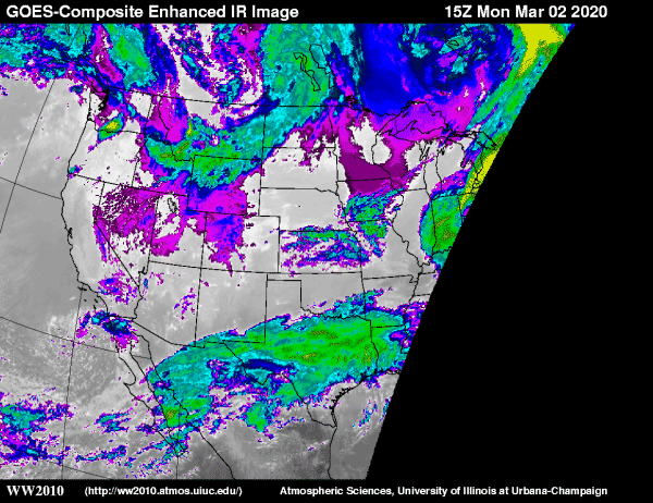
infrared |
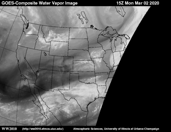
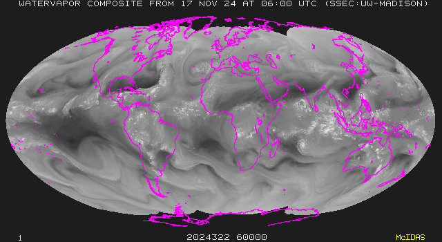
water vapor |
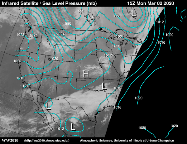
IR + MSLP
|
| Wisconsin |
GOES: east
vis |
ir |
vapor ////
west
vis |
ir |
vapor
Global:
montage |
infrared |
vapor
Satellite winds/Atlantic: low-IR/low-VIS/high-WV |
more
Satellite winds/Pacific: low-IR/low-VIS/high-WV |
more
|
| RAP |
US:
vis |
ir |
WV ///
DEN |
ICT |
MSP |
EVV |
BWI |
AUS |
DTW |
ABQ
|
| GHCC |
Interactive
1-km visible imagery |
infrared |
water vapor |
| UCAR |
Real time GPS water vapor -
main page /
DAS time series
|
| LiveCamera |
Weathernet |
WCCO list |
Vancouver |
San Francisco |
Mt.Wilson |
Portland |
SaltLake |
PikesPeak |
Denver |
Boulder |
Divide |
Steamboat |
Lincoln |
Min-StPl |
Chicago |
Moline |
Cinci. |
NYC |
Boston |
Charlotte |
Tampa |
Banff
|
| Upperair |
Unisys,
COD,
RAP,
WY,
NIU,
OSU,
NESDIS,
OU |
OU:
925 mb |
850 |
700 |
500 |
300 |
250 |
200
OU:
285 K |
290 |
295 |
300 |
305 |
310 |
315
Station skew-t |
Fcst snd. |
GOES:
NESDIS/CIMSS |
FSL Archive
|
|
Surface
observations |
RAP |
SPC |
Unisys |
COD |
OU |
CAPS |
Regional maps (RAP) |
regional (COD) |
by state (COD) |
US:
NE,
Atl.,
SE,
Midwest,
Plains,
S. Plains,
S. Plains(OU),
NW,
SW,
AK,
Canada:
W, E, N |
Oklahoma mesonet |
SPC analyses |
UIUC
|
|
Radar/Lightning
|
NOAA |
U.S. |
clickable map |
88D sites |
Lincoln, IL |
ILX BREF
|
| Various |
WW2010 |
RAP |
Archive |
US (Unisys) |
Zoomable (AccuWeather)
|
| WSI |
US |
Chicago |
St. Louis
|
| Lightning Store |
Current lightning display (link fixed)
|
|
| Maps |
Illinois |
Maps:
US wind,
temp. |
IL wind,
temp.,
wx |
6-panel
S / M / L ||
9pnl
|
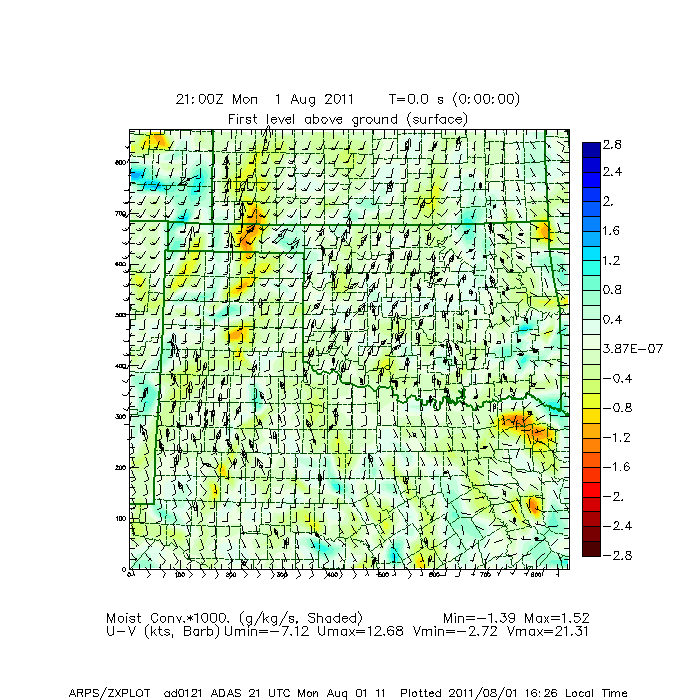
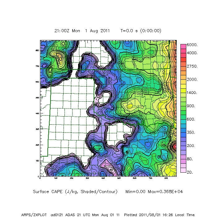
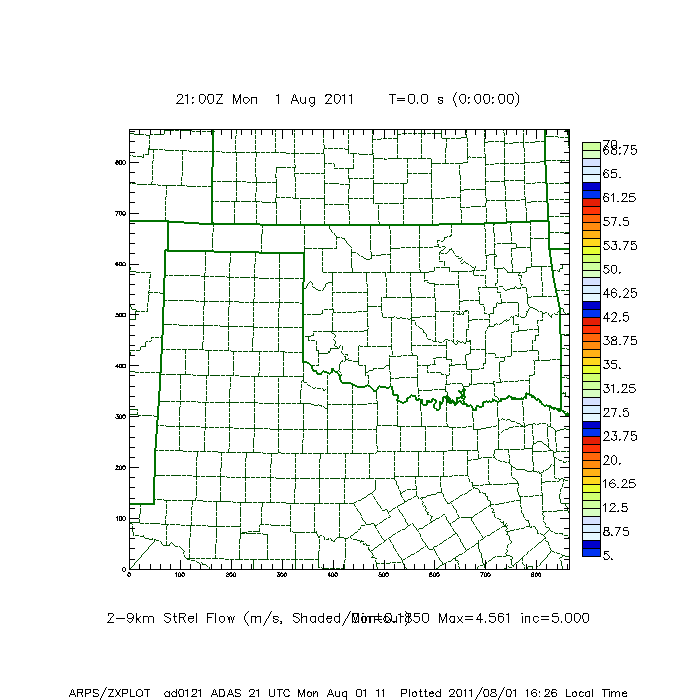
| CAPS-ADAS |
T |
Td |
Thetae |
P |
Divg |
Vort |
Mcon |
LI |
CAPE |
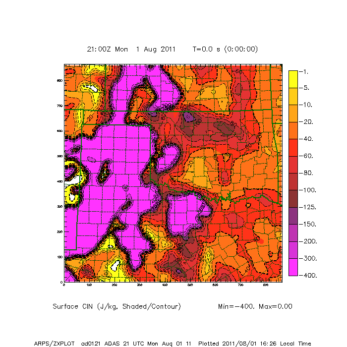
CIN |
BRI |
StrmMotion |
SREH
|
SPC
Storm Prediction Center |
Severe outlook:
Today |
Day-2 |
Day-3 |
Watches |
Outlooks |
COD page
|
| RAP |
Clickable surface map |
midwest |
Plains:
southern,
central
|
| WxChannel |
current map |
svr outlook |
aftn fcst |
Next AM |
Next PM
|
| Unisys |
obs/radar |
weather depiction |
daily |
meteograms
|
| Johns Hopkins |
Color Landform Atlas of United States
|
| Tropical |
NHC |
NOAA-GOES |
IR:
(Atlantic /
Pacific) |
GOES |
NOAA-CoastWatch |
Navy SST
|
| Profiler |
FSL |
A&M |
RAP |
FSL page |
Ht maps:
1 km |
2 |
3 |
4 |
5 |
7 |
9 |
Winchester, IL |
map of sites
|
